Tide Table for São Sebastião: How to Check It Before Your Tour
By MaresiasTur · · Updated on · 4 min read
Quick answer
The official tide table for São Sebastião is the Navy's Hydrography Center, which publishes the annual forecast for the Port of São Sebastião. It gives, day by day, the times and heights of high and low tides, usually two of each per day.
The official São Sebastião tide table is published by the Navy's Hydrography Center (CHM), which forecasts tides for Brazilian ports. For Maresias, the closest official reference is the Port of São Sebastião: the table shows, for each day of the year, the times and heights of high and low tides, which generally alternate twice a day.
This guide explains where to check the table, how to read the numbers, why the tide matters on a boat tour, and where to check rough-sea and bad-weather warnings. The information was checked in September 2026 from official sources at the Navy, the São Paulo Civil Defense, INMET, and CPTEC/INPE.
Where can you check the official São Sebastião tide table?
The CHM publishes tide tables by year; the 2026 edition covers 44 ports, among other points. The Port of São Sebastião table for 2026 is a PDF file, with these reference data:
- Position: latitude 23°48.6' S and longitude 45°23.9' W;
- Time zone: UTC−3, Brasília time;
- Nautical chart: 1644;
- Mean level: 0.64 m.
Tide table sites and apps usually reproduce the CHM's data, but some warn that they're for reference only, for fishing and leisure, and shouldn't be used for navigation. For anyone heading out by boat, the decision to sail rests with the skipper and the agency.
How do you read the tide table?
High tide is called "preamar" and low tide "baixa-mar" in Portuguese. They alternate about twice a day, roughly 6 hours apart, and the times change every day. In the Port of São Sebastião's 2026 table, four tides a day usually appear: two high and two low. See the example for January 1, 2026:
| Time | Height | Type |
|---|---|---|
| 2:06 am | 1.20 m | High tide |
| 7:23 am | 0.37 m | Low tide |
| 1:16 pm | 0.86 m | High tide |
| 7:53 pm | 0.04 m | Low tide |
In the first quarter of 2026, high tides run around 0.9 to 1.3 m and low tides around −0.1 to 0.4 m. Negative values show up at the lowest tides. In São Sebastião, the difference between high and low tide usually runs around 1 meter (3.3 ft).
Does the port's table apply to Maresias?
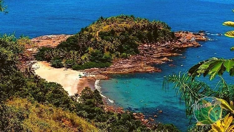
It serves as a reference, but it isn't a local measurement. There's no official tide station in Maresias, and the beach is about 30 km (19 mi) from the port, so tide times there can be a bit different from the table. Use the table to get a sense of the day (whether low tide falls in the morning or afternoon, for example) and leave the fine-tuning to people who know the local waters.
Why does the tide matter on a boat tour?
The tide and the sea conditions affect navigation and swim stops. That's why MaresiasTur's departures depend on safe conditions. On the shared boat tour to the 3 Islands of the South Coast, which departs from Boiçucanga at 9 am, noon, and 3 pm and passes by Ilha das Couves, Ilha dos Gatos, and As Ilhas, the rule is clear: in case of unfavorable tides, rescheduling or a full refund is offered. The same applies to the shared boat to Ilha do Montão de Trigo and the 3 Islands.
Under the cancellation policy, when a departure is canceled due to weather, maritime safety, or an operational issue, travelers choose between rescheduling at no cost or a full refund. To plan the trip for the right season, see the best time for tours in Maresias, and if seasickness is a concern, the tips on seasickness on a boat tour.
How can you tell if there will be rough seas or bad weather?
The Navy's Marine Meteorological Service publishes bad-weather warnings for:
- strong wind, above force 7 on the Beaufort scale;
- rough seas, with waves of 3 m (10 ft) or more in coastal areas;
- low visibility, under 1 km (0.6 mi);
- rough surf, with waves above 2.5 m (8 ft) reaching the coast;
- cyclones, in special warnings.
The warnings are posted on the CHM's page and the Boletim ao Mar app. Other useful official sources:
- São Paulo Civil Defense: free SMS alerts by texting your ZIP code (CEP) to 40199, with warnings about risks such as rough surf and gale-force wind (SP Sempre Alerta).
- INMET: weather warnings by municipality at avisos.inmet.gov.br.
- CPTEC/INPE: weather forecast for São Sebastião and wave forecast.
In a sea emergency, the number is 185, for Salvamar. Other useful phone numbers are in the guide on emergency and health in Maresias.

Frequently asked questions
- What is the official tide table for São Sebastião?
- It's the Port of São Sebastião table published by the Navy's Hydrography Center, with times and heights of the tides for every day of the year.
- How many tides are there per day in São Sebastião?
- Generally four: two high tides and two low tides, with times that change every day.
- Does the São Sebastião tide table apply to Maresias?
- It serves as a reference, since it's the closest official station, but Maresias is about 30 km (19 mi) from the port and the times there may be a bit different.
- Can a boat tour be canceled because of the tide?
- Yes. In case of unfavorable tides, MaresiasTur offers rescheduling or a full refund, the traveler's choice.
- How do you get rough-sea alerts on your phone?
- Text the ZIP code (CEP) of your location by SMS to 40199, the São Paulo Civil Defense number. The Navy also posts rough-sea warnings on the CHM's page and the Boletim ao Mar app.